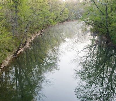
Water and caves go hand in hand. Blue River flows through the heart of Indiana’s karst area.

One square mile near the town of Orleans in Southern Indiana has 1,022 mapped sinkholes!

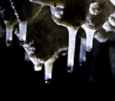
Thousands of cave formations; stalactites, stalagmites, draperies, and others can form.

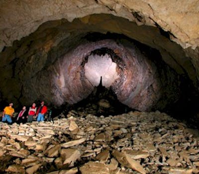
Monument Mountain in Wyandotte Cave is one of the world’s largest piles of breakdown.
The term karst was first used to describe an area of the Dinaric Alps in Yugoslavia. It is now used to refer to any similar topographical region throughout the world. In the United States, karstlands are located in Southern Indiana, Kentucky, Central Missouri, and Florida. These regions are characterized by underlying limestone or other soluble rocks. Acidic water gradually dissolved these underlying rocks, leaving behind an underground drainage system that includes…
The Blue River Basin of Southern Indiana is a karst region that has over 1,000 caves. This basin includes two spectacular show caves: Wyandotte Cave and Marengo Cave. It is home to over 100,000 endangered Indiana bats and other rare species of animals. It also exhibits such rare karst habitats as limestone glades, chert barrens, and upland sinkhole swamps.
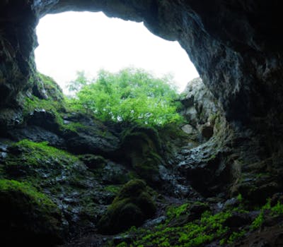
A sinkhole is a basin that forms when limestone is dissolved and the soil layer “falls” into the resulting depression. They are usually shaped like a funnel or bowl. A sinkhole that has an open bottom can swallow entire creeks and streams.
The ground water entering the sinkholes and caves in a karst landscape can travel underground quite rapidly, up to several miles a day. Water can easily become contaminated since the surface water flows directly underground and is not filtered by soil and bedrock. This can threaten drinking water by transporting contaminants to wells and springs in the area.
Follow us
JOBS MEDIA CONTACT